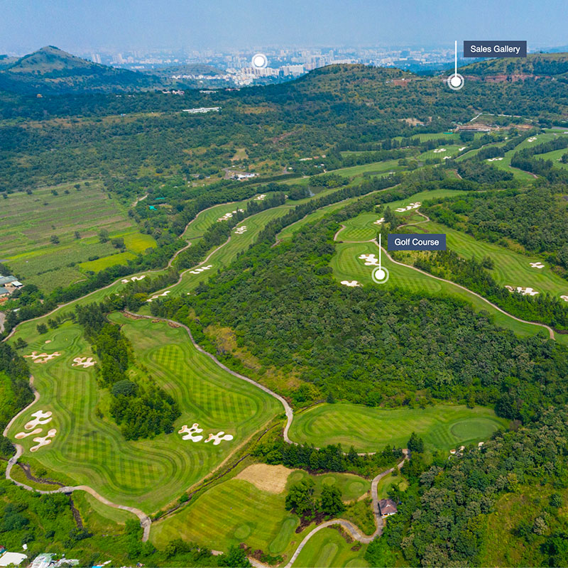
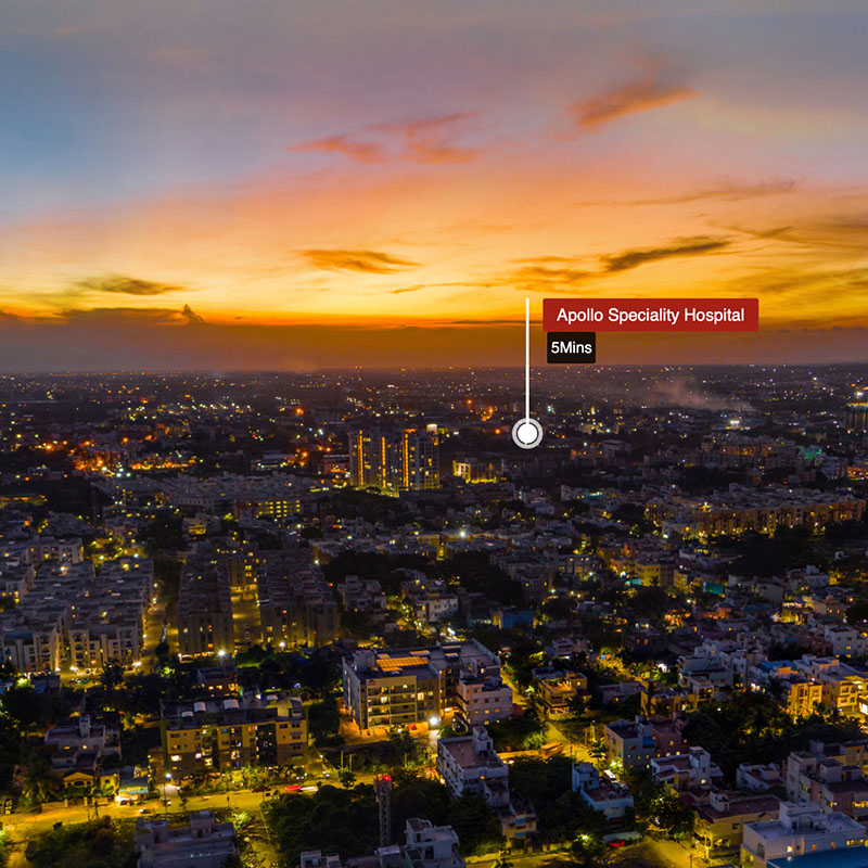
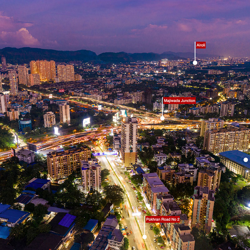

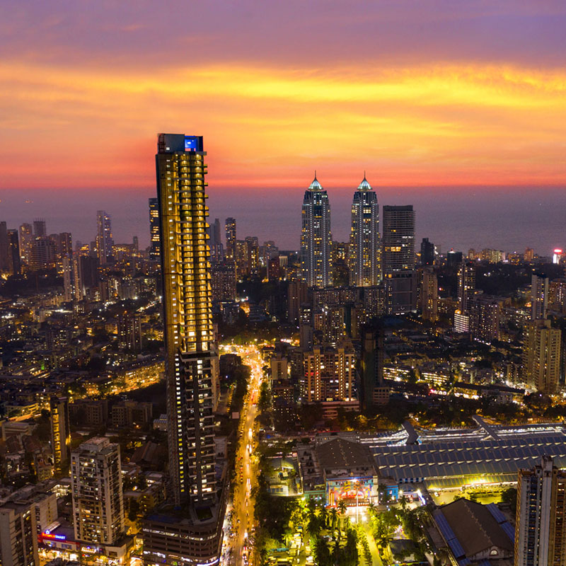
PixelDo’s 360 degree Virtual tours made with help of Aerial Panoramas and Digital Mapping are cost effective and highly visual way of marketing for real estate industry and experiencing your property from stunning bird eye’s view.
360 degree Photography & Aerial panorama not only enables the viewer to experience unique, but also an impossible viewpoint. It brings a wealth of information to their fingertips. These help in assessing valuable information such as dynamic price of the property, view from the balcony, build area plan assessment, infrastructure layouts and many others.
We have also used our experience in 360 degree Photography to create unique experiences such as gigapixel images, mosaic aerial photography and High Definition – HD aerial images.
Virtual Tour technologies can be used to derive complex information for asset management of landscapes, analysation of industrial facilities, art and museum documentation and many more.
Development authorities can use this immersive mapping technique effectively handle grand projects. They can also use this handy and interactive tour for their daily official use as it makes it easy for one to understand from this than from traditional maps. The interactive tour can be stored on your laptop, iPad, Mobile and can be used anytime anywhere. Urban Planners can use this tool for presentation purpose and to co-create and communicate future development plans.
We are sure our service can benefit you immensely. Get in touch for 360 degree Photography in India. We would love to hear from you at hello@pixeldo.com .